Mapserver of the Department of Geomatics
Faculty of Applied Sciences University of West Bohemia in Pilsen
Mapserver of the Department of Geomatics is a platform for visualization of geodata that are produced or processed in education or in projects by students and researchers at the Department of Geomatics (DoG).
Mapserver of the DoG is mainly focused on following topics but not only to:
- old maps
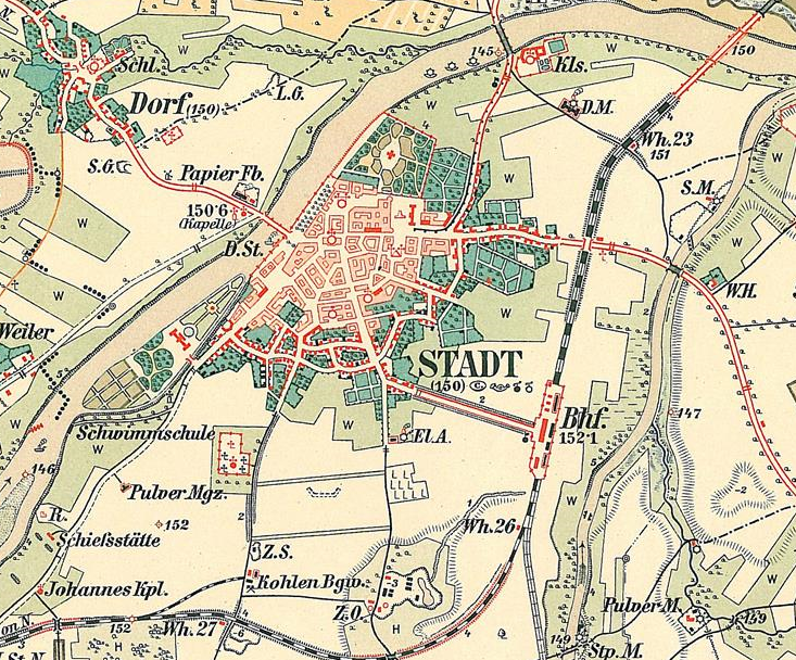
- Researchers of DoG are concerned with the topic of old maps on a long-term basis. Old maps are researched from the point of view of localization, analysis precision, map content analysis, used cartographic methods and many others.
- database of settlements
- Researchers and students of DoG are concerned with design and progressive development of the Database of settlements since 2008. Main goal of this data set is to develop a comprehensive collection of settlement on the Czech state territory represented in different data sources during historical epoch.
Mapserver of the DoG contains following applications:
- Map window - allows user to view map layers published by the Mapserver and prepare compositions
- Analyst module - allows user to analyse spatial data stored in the database and to visualize results of analyses
- Catalogue of data sets - allows user to search for datasets by given criteria
This figure is cut-out of the map key for III. Military survey maps (K. u k. Militärgeographisches Institut in Wien. (1894) Schlüssel zur Darstellung und Beschreibung militärischer Aufnahmen nebst Bezeichnung von Kriegsbauten und Truppen, now stored in: The Central Archive of Surveying, Mapping and Cadastre in Prague)
If you would like to use full functionality of the platform, please log in. Otherwise you can view the basic Map window.